
Imray News Late Summer 2012
 Visit the PSP Southampton Boat Show
14th - 23rd September 2012
Many of our resellers will be at the Southampton boat show and you will have the opportunity to view and buy Imray charts, books and digital publications.
 'Like' Imray on Facebook and keep up to date with new editions and news.
Imray Chart Apps
This is a fully functioning chart navigation package based on high quality images of Imray Charts which has been well received.
Imray Chart Navigator Apps feature
- Waypoints
- Routes: distances, targets, bearings
- Position and destination
- Course to steer, speed and bearing
- Magnetic compass
- Distances, bearings from any point to any point
- Electronic bearing line
- GPS and instruments
- Tides with full functionally from Tides Planner
- Aerial photographs (subject to coverage) and harbour plans
- Tracks which you can share with friends
Available in the following languages: English, Dutch, French, German, Italian and Spanish.
Imray Chart Navigators - North Sea, Atlantic Europe, British Isles West coast and Ireland, Western Mediterranean, English Channel, Caribbean Sea, and 1800 series Netherlands small craft charts are now available to download from the app store.
The free Imray Chart Navigator 2.10 contains a demo version of charts of the English Channel and from within this App chart areas as above can be purchased.
![]() For more information or to buy go to the app store.
For more information or to buy go to the app store.
 Chart Navigator - manage and purchase new charts using chart store
You can now manage and purchase new charts from within the Chart Navigator software.
For full details click here to read the Chart Navigator - chart store PDF (422Kb).
New Imray Apps
Marine Imray Charts Denmark now available for download as an App purchase. These are Danish hydrographic office charts which come with an upgrade to our award winning Chart Navigator software.
Imray apps are continually updated and the latest releases not only include new editions of charts published in 2011, but also additional software functionality - an import facility for waypoints, tidal streams and many other features.
 Marine Rules and Signals now available for Android
Our best selling App covering rules of the road, lights, shapes and signals is now available for Google Android and can be downloaded from Google Play
New Books
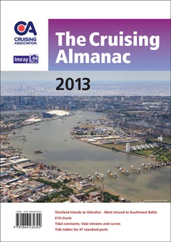 The Cruising Almanac 2013
The Cruising Association
Compiled by The Cruising Association and Imray, it covers Northwest Europe from the Shetlands to Gibraltar and West Ireland to the Baltic. In this edition the fully revised and corrected text, includes an improved introduction with 22 plans which have been redawn to show major changes, three additional plans, and details of five new marinas. The section on the Approaches to the Baltic has been carefully overhauled.
The Cruising Almanac comes with 2013 tide tables with data on 47 standard ports.
Available soon at £32.00 - View details
 Navigating the River Thames
Robert Ludlow
A new handy guide to the tidal Thames below Tower Bridge showing points of interest and distances between them
Now available at £9.95 - View details
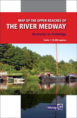 Upper Reaches of the River Medway
Imray
A new edition of Imrays map covering the river from Rochester to Tonbridge. Redesigned in folded strip format. Includes notes for canoeists by David Wise.
Now available at £7.95 - View details