


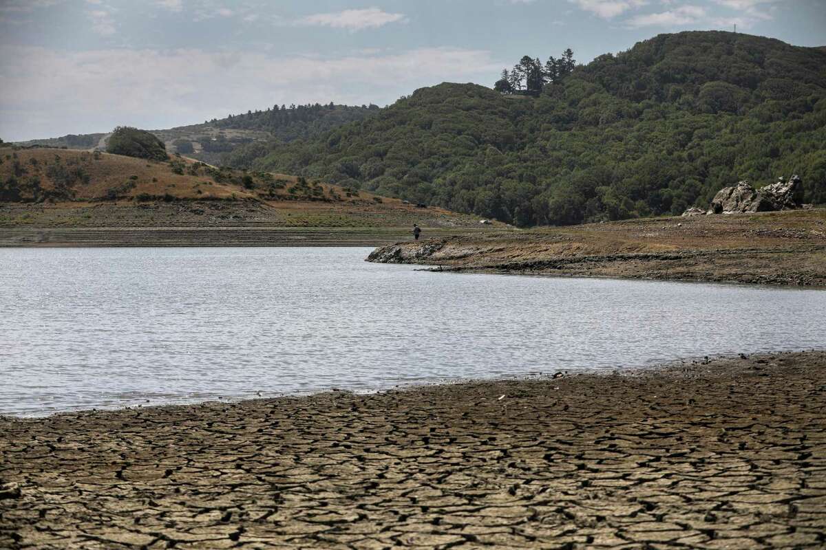
A man fishes at the shoreline of Nicasio Reservoir in the Nicasio Valley region in Marin County. The lack of rainfall has put the artificial reservoir, the area’s largest, at its lowest point in many years as drought continues to grip much of the state.
Brontë Wittpenn/The Chronicle 2021This September has been a relatively wet month for the Bay Area. Remnants of Tropical Storm Kay brought moisture to Northern California earlier this month. More recently, an unusual storm delivered nearly 3 inches of rain to the Sonoma Coast and about a third of an inch to downtown San Francisco.
But the next few months will probably be drier than normal for much of California, as La Niña conditions will likely extend through a third consecutive winter — only the third such “triple-dip” since the 1950s.
“Getting what we call a double-dip La Niña is not totally uncommon. But triple dips are much more uncommon,” said Michelle L’Heureux, a climate scientist with the National Oceanic and Atmospheric Administration’s Climate Prediction Center. Forecasters are giving a greater than 60% chance that La Niña will continue through winter, or the December-February period.
La Niña is a climate pattern resulting from cooler-than-normal sea surface temperatures in the eastern Pacific close to the equator. Its counterpart is El Niño, when the temperatures are above normal. Together, these two events make up the El Niño-Southern Oscillation, also known as ENSO, and influence temperatures and precipitation around the planet.
El Niño and La Niña episodes typically last for nine months to a year, but can extend for years — like the current La Niña. During this time, California has faced serious drought conditions: reservoirs at historic lows and parched vegetation that has fueled dangerous wildfires.

A dry dam canal at Nicasio Reservoir in Nicasio Valley in Marin County.
Brontë Wittpenn/The Chronicle 2021The latest ocean temperature — averaged over June, July and August — registered at 0.8 degrees Celsius, or about 1.5 degrees Fahrenheit, below normal. While this may not seem like much, small changes in water temperatures can have big effects, since the ocean and atmosphere are coupled.
“They kind of do this little dance together,” L’Heureux said. Cooler waters in the central tropical Pacific lead to reduced rainfall. But farther west, rainfall increases over Indonesia, where waters remain warm and can more easily evaporate to form rain clouds.
These temperature changes also shift the polar jet stream, which travels from west to east high above the U.S. In general, this relocation results in more rainfall in the Pacific Northwest. But in the Southwest, drier conditions are more common.
But what about California, situated squarely between these regions?
“There is this pivot point that exists in the northern part of the Sierra Nevada up into Southern Oregon,” said Dan Cayan, a climate scientist at Scripps Institution of Oceanography at UC San Diego. Here, there doesn’t appear to be a strong pattern for precipitation outcomes.
The odds for dry La Niña conditions in the state become more solid moving down toward Southern California. But there is uncertainty for exactly what the weather will be in the Bay Area.
“If I was forced to bet, I would not bet on a really wet winter,” Cayan said.

The Climate Prediction Center’s precipitation outlook provides probabilities across the U.S. whether precipitation will be above normal, about normal or below normal this winter (December-February).
Climate Prediction CenterStill, these typical rainfall patterns are averages over several La Niña events. While many result in drier-than-normal conditions in California, others had rain.


“Every event, of course, has some differences and its own personality,” Cayan said. However, the latest outlook from the Climate Prediction Center is forecasting that much of the state, including the Bay Area, will experience relatively dry weather.
There is one more possibility that could provide much-needed moisture amid the ongoing drought.
“If we get a couple of episodes of atmospheric rivers that track into the state of California, then that will be quite possibly a huge benefit,” Cayan said.
Jack Lee (he/him) is a San Francisco Chronicle staff writer. Email: jack.lee@sfchronicle.com


