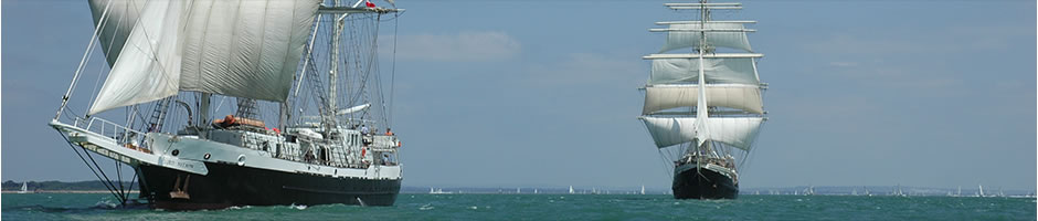
This chart is tracking STS LORD NELSON & SV TENACIOUS via AIS (Automatic Identification System). Both ships have an AIS transponder on board, which transmits their position, speed and course, among some other information, such as vessel’s name, dimensions and voyage details. Whilst the AIS transmits on a frequent basis (approx every 20 minutes), the position of the ships can only be shown if within range of an AIS receiving station (usually 15-20 nautical miles), though this can be much further depending on the elevation of the receiving base station. If you can’t see the ship(s), it’s either because they are out of range of a receiving station or there’s something really big in the way.
By contrast, the Ocean Tracker system at the top of the page, works via the Inmarsat satellite system and will always update the ships’ positions every 6 hours irrespective where they are in the world. Though we do switch it off for our long maintenance periods alongside as it beeps a lot and keeps the Captain awake…


