Spatial analytics for the modern data stack

The leading cloud native Location Intelligence platform.

Unlock location insights in your cloud data warehouse

BigQuery
Snowflake
Redshift
Databricks

Go beyond asking where things happen to know why they happen there. Location data & geospatial analysis is no longer “something those GIS people do”, it's a core capability of modern Data Science & Analytics teams.

TRUSTED BY MARKET LEADERS

Rolling out 5,000 parcel lockers

Neil Drake
Rolling out  5,000 parcel lockers

“In a competitive landscape we need to be smart about where we place lockers across our estate, ensuring we land in the catchment areas of our target demographics. CARTO has made this a much easier process, both in terms of data & their professional services team.”

Neil Drake
Senior Manager Parcel Service & Format Development at Asda

Rolling out  5,000 parcel lockers

TRUSTED BY MARKET LEADERS

Powering commercial Real Estate decisions

Elena Rivas
Powering commercial Real Estate decisions

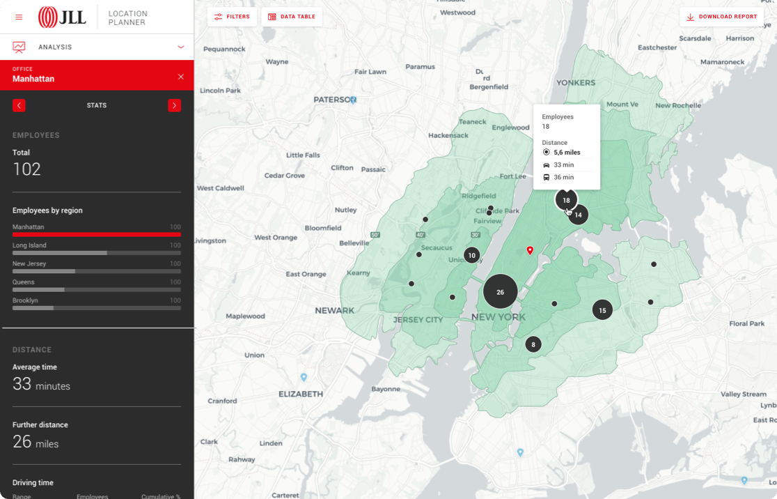
“Our Data Science & Engineering teams use CARTO’s platform to power our in-house solution Gea. It is now much easier to create, update & publish maps faster, saving our team valuable time, and giving a better service to our clients looking to identify new RE opportunities.”

Elena Rivas
Global Head Of Engineering & Data Science at JLL

Rolling out  5,000 parcel lockers

TRUSTED BY MARKET LEADERS

Monitoring performance for 700k vending machines

Minori Matsuda
Monitoring performance for 700k vending machines

“CARTO’s connectivity to BigQuery has eliminated ETL complexity & scalability limits we were encountering with existing BI tools. Now we can build maps for our sales teams in minutes, analyzing using spatial SQL. We can also access thousands of datasets through the Data Observatory which takes away the friction of data acquisition.”

Minori Matsuda
Data Science Manager at Coca Cola Bottlers Japan

Rolling out  5,000 parcel lockers

TRUSTED BY MARKET LEADERS

Growing market share in 150 countries

Bobby den Bezemer
Growing market share in 150 countries

“CARTO has allowed Bumble to focus our marketing budgets more effectively & grow market share as we expand. Their platform saves us days of work per month in sourcing, evaluating & ETLing data in order to provide different business units with the insights they need.

Bobby den Bezemer
Business Insights Lead at Bumble

Rolling out  5,000 parcel lockers

TRUSTED BY MARKET LEADERS

Optimizing 5G deployment for greater profitability

Kendra Lord
Optimizing 5G deployment for greater profitability

“Using CARTO has enabled us to analyze service qualification at a much larger scale due to its comprehensive support for a wide range of functions and libraries including spatial indexes. This is a gamechanger, modernizing our GIS stack.”

Kendra Lord
Director of Geospatial Engineering & Analytics at T-Mobile

Rolling out  5,000 parcel lockers

TRUSTED BY MARKET LEADERS

Boosting revenue across 4k dealerships

Frederic Neumager
Boosting revenue across 4k dealerships

“CARTO has allowed us to move away from disparate solutions to one single app to understand site performance across our dealership network in Europe, which has enabled us to be more data-driven & increase sales.”

Frederic Neumager
Network Development Manager at Groupe Renault

Rolling out  5,000 parcel lockers

TRUSTED BY MARKET LEADERS

Improving agricultural sustainability for thousands of farmers

Jason McVay
Improving agricultural sustainability for thousands of farmers

“CARTO makes map making easy. I can quickly pull the data in, get it on a map, do some light SQL & then share. Collaboration is easy & within a couple of hours we can have a really great visual product to share with decision-makers.”

Jason McVay
Associate Data Scientist at Indigo Ag

Rolling out  5,000 parcel lockers
00
/
00

CLOUD NATIVE

Discover the advantages of cloud-native GIS at scale

The only Location Intelligence platform to offer cloud-native, self-hosted, and hybrid deployments - accommodating the needs of the modern data & GIS professional.

Graph with data warehouse logos processing to Carto Spatial Extension

Speed up your spatial analysis

Data Scientists, Developers and Analysts solve spatial problems using our data and analysis to understand where and why things happen, optimize business processes and predict future outcomes. Our platform helps you to do this in 4 simple steps:

Access more than 12,000 geospatial datasets

Our Data Observatory makes it simple for enterprise organizations to access thousands of "always-on" public & premium datasets, enhancing their spatial analysis with data such as POIs, human mobility, credit card transactions and much more.

TALK TO US

Request a Demo

Schedule a 20 minute meeting with our experts to understand how you can use spatial analysis in your organization.