

Australian Weather
National Summary
Troughs are triggering showers and storms (some severe) over parts of the NT, QLD and northeast NSW, while maintaining heat across the north. A trough and front is bringing some showers to southern NSW, VIC and TAS. High pressure ridges are keeping elsewhere mostly settled.
State Weather
Click for state forecasts


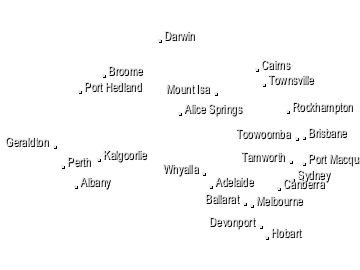
National Synoptic

Weather News
Tropical Cyclone names this season
14:18 EDT
Australia's 2021/22 tropical cyclone season starts in two weeks.
Severe storms in QLD today
10:40 EDT
When severe thunderstorms are already hitting parts of central Queensland at 8am, you know it’s going to be a big day.


Extremes and Records
| Current Extremes | Last 3 Days Extremes | Extremes This Month | |||
|---|---|---|---|---|---|
| Fri 15/10 | Sat 16/10 | Sun 17/10 | |||
|
41.1°C Ngukurr, NT |
Hottest |
42.9°C Bradshaw-Angallari, NT |
43.1°C Wyndham Airport, WA |
42.5°C Rabbit Flat, NT |
43.7°C Wyndham Airport, WA |
|
2.2°C Mt Wellington, Tas |
Coldest |
-1.9°C Thredbo Top Station, NSW/ACT |
-3.9°C Cooma Ap, NSW/ACT |
-0.4°C Thredbo Village, NSW/ACT |
-6.7°C Thredbo Top Station, NSW/ACT |
|
NW 57km/h Thredbo Top Station, NSW/ACT |
Windiest |
129km/h Wilsons Promontory, Vic |
120km/h Wilsons Promontory, Vic |
88km/h Maatsuyker Island, Tas |
- |
|
13.0mm last hr Grafton, NSW/ACT |
Wettest |
87.2mm TAS PARKS WILDLIFE PORTABLE C, Tas |
21.4mm Pt Perpendicular, NSW/ACT |
27.0mm Bradshaw-Angallari, NT |
34.0mm Thangool, Qld |
| Australia's Records for October | |||
|---|---|---|---|
| Max | Min | Rain | |
| Highest 46.9°C at Port Hedland Ap, WA in 2002 Lowest -5.0°C at Thredbo Top Station, NSW/ACT in 1972 |
Highest 32.7°C at Old Halls Creek, WA in 1900 Lowest -12.0°C at Charlotte Pass, NSW/ACT in 2006 |
Highest 551.2mm at Yeppoon, Qld in 1914 |
|
-
Display your Local Weather here
automatically each time you visit us:

Rotates through Temperature,
Wind, Humidity and RainUse the Search Bar above
to find your Local, and go to the Local page
Click "Set My Local"
button next to the location name


