
Hobart Airport 256km Radar/Lightning
 heavy
heavyAbout Weatherzone Radar
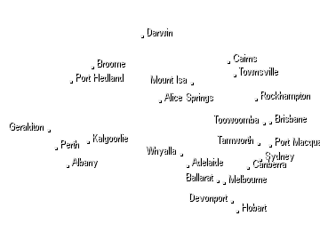
 Distance and latitude/longitude coordinates are displayed when you mouse over the map. The
origin for distance measuring is indicated by a red dot and defaults to either your location, if specified and in range, or the location
of the radar/the centre of the map. The origin may be changed by clicking elsewhere on the map.
Distance and latitude/longitude coordinates are displayed when you mouse over the map. The
origin for distance measuring is indicated by a red dot and defaults to either your location, if specified and in range, or the location
of the radar/the centre of the map. The origin may be changed by clicking elsewhere on the map.
The colours and symbols used on the radar and satellite maps are described on our legend page. View legend »
Radar Details
Tasmania
LocationHobart Airport Radar TypeWF 100 C Band Typical Availability0000-0300; 0430-0900; 1030-1500; 1630-2100; 2230-0000
This installation is primarily a windfinding radar. The coverage in weather watch mode is poor. Surrounded by mountains and hills in most directions, it provides coverage for the immediate area surrounding Hobart Airport, about 40km along the Coal River Valley to the northwest and to the southeast over Frederick Henry Bay to the Tasman Peninsula.
Now Temperature
At Gold Coast
07:20 EST
13°C
22°C
Clearing shower

Weather News
WA's summery start to Winter
14:16 EST
On the first day of the winter season, several locations in southwestern parts of Western Australia have seen their hottest June day in over a decade.
Rain for the southeast!
09:47 EST
Another burst of cold air will spread across the southeast over the next few days, knocking temperatures into the low teens or single digits for all major capitals Tuesday afternoon, and bringing further snow to the alps and Tablelands.
Fears for future of Menindee's birds as drought continues
19:28 EST
Residents in Menindee, the far-west New South Wales town now synonymous with ecological demise, are worried for the rich and rare birdlife that relies on the area to breed.
