

Hobart Airport 256km Radar/Lightning
 heavy
heavyAbout Weatherzone Radar
 Distance and latitude/longitude coordinates are displayed when you mouse over the map. The
origin for distance measuring is indicated by a red dot and defaults to either your location, if specified and in range, or the location
of the radar/the centre of the map. The origin may be changed by clicking elsewhere on the map.
Distance and latitude/longitude coordinates are displayed when you mouse over the map. The
origin for distance measuring is indicated by a red dot and defaults to either your location, if specified and in range, or the location
of the radar/the centre of the map. The origin may be changed by clicking elsewhere on the map.
The colours and symbols used on the radar and satellite maps are described on our legend page. View legend »
Radar Details
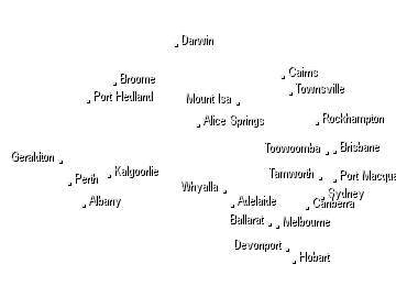
Tasmania
LocationHobart Airport Radar TypeWF 100 C Band Typical Availability0000-0300; 0430-0900; 1030-1500; 1630-2100; 2230-0000
This installation is primarily a windfinding radar. The coverage in weather watch mode is poor. Surrounded by mountains and hills in most directions, it provides coverage for the immediate area surrounding Hobart Airport, about 40km along the Coal River Valley to the northwest and to the southeast over Frederick Henry Bay to the Tasman Peninsula.
Now Temperature
At Gold Coast
18:00 EST
24°C
29°C
Possible shower


Weather News
Heatwave grips Queensland as Roma and Brisbane suffer an unending run of scorchers
18:20 EDT
Severe heatwave conditions along the length of the Queensland coast have brought a record-breaking run of high temperatures to the southern inland town of Roma and unrelenting searing weather to Brisbane.
Fire, floods, dust and snow — how is this all happening at the same time?
18:11 EDT
There are fires in NSW, a heatwave in south-east Queensland, the dust is still settling on Sydney and Canberra, and it snowed in Tasmania overnight.
Townsville rental prices skyrocket after flooding crisis, families struggle to find homes
17:28 EDT
Some home rentals in Townsville are going for more than double their normal asking price as locals fight it out for rapidly dwindling housing stock.
