

Australian Weather
National Summary
A low pressure trough across the southeast is causing showers and thunderstorms, as well as directing warm air into parts of NSW and QLD. A cold front is bringing a cooler change to eastern VIC and NSW. Another trough over the NT and QLD is generating the odd light shower.
State Weather
Click for state forecasts


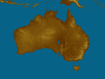
National Synoptic

Weather News
Stormy weekend in southeast Queensland
16:14 EST
Showers and thunderstorms will affect parts of central and southeast this weekend, with severe storms likely in some areas.
South Australian Government formally acknowledges drought for first time
15:21 EST
South Australia is officially in drought, according to the State Government.
'Medicane' bearing down on Greece
14:14 EST
An intense low pressure system being referred to as a 'Medicane' will cause severe weather in parts of southern Europe this weekend.


Extremes and Records
| Current Extremes | Last 3 Days Extremes | Extremes This Month | |||
|---|---|---|---|---|---|
| Tue 25/09 | Wed 26/09 | Thu 27/09 | |||
|
37.6°C Douglas River, NT |
Hottest |
40.0°C West Roebuck, WA |
40.9°C Roebourne Ap, WA |
40.0°C Marble Bar, WA |
40.9°C Roebourne Ap, WA |
|
-1.2°C Mt Read, Tas |
Coldest |
-6.2°C Thredbo Top Station, NSW/ACT |
-3.2°C Thredbo Village, NSW/ACT |
-1.2°C Mt Wellington, Tas |
-9.7°C Thredbo Top Station, NSW/ACT |
|
NW 51km/h Thredbo Top Station, NSW/ACT |
Windiest |
74km/h Forrest, WA |
75km/h Melbourne Ap, Vic |
101km/h Thredbo Top Station, NSW/ACT |
- |
|
0.4mm last hr Coldstream Comparison, Vic |
Wettest |
43.4mm Port Keats Ap, NT |
96.2mm Tocal, NSW/ACT |
21.4mm Mt Read, Tas |
21.0mm Mt Read, Tas |
| Australia's Records for September | |||
|---|---|---|---|
| Max | Min | Rain | |
| Highest 43.1°C at West Roebuck, WA in 2003 Lowest -6.2°C at Mt Buller, Vic in 1995 |
Highest 30.0°C at Warmun, WA in 2016 Lowest -16.7°C at Charlotte Pass, NSW/ACT in 1970 |
Highest 370.3mm at Burdekin, Qld in 1890 |
|
-
Display your Local Weather here
automatically each time you visit us:

Rotates through Temperature,
Wind, Humidity and RainUse the Search Bar above
to find your Local, and go to the Local page
Click "Set My Local"
button next to the location name


