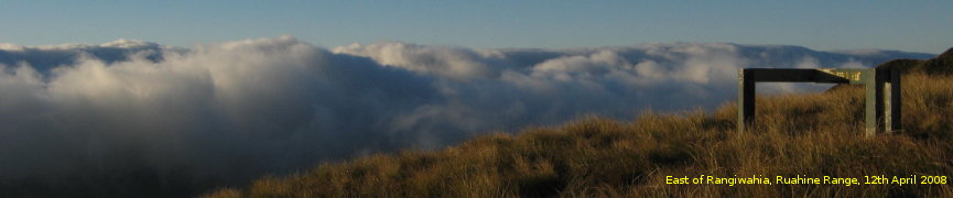
Thursday and Friday were remarkably sunny days. This made the browsing of the surface pressure and rain forecast maps more annoying: they showed rain approaching for the weekend. Not that I mind walking through wind and rain, but it can complicate plans, and my free time’s been limited lately. I had a day of free time, nevertheless, and with that free time I resolved to visit the Kaitoke end of the Tararuas. Saturday looked like the better day.
I’d not been there for a while. The most recent occasion was whilst walking out from a moonlight Southern Crossing. Earlier than that I’d been for a walk around the Dobson loop. This time I thought I’d try something similar, but would try to leave earlier and get a bit further than I had previously.
Date: 7th October, 2017
Location: Tararua Forest Park, Kaitoke Road End.
Route: Start at Kaitoke, walk to Smith Creek Shelter (via Puffer Saddle), then check out the Tauherenikau. Back to Smith Creek Shelter, up to spot-height 656, hover around Marchant Ridge for a while, then back to Kaitoke via the main Southern Crossing track.
[Photos]
[Download GPX] [Show map] [Display in new window][LINZ Topographic Map in new window]
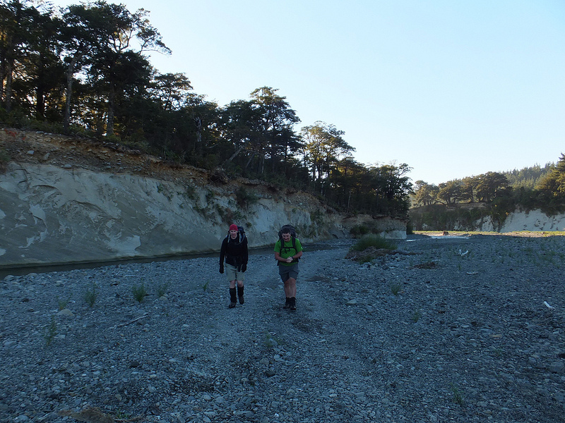
It rained. Not torrential. Just steady. The forecast had it getting worse later in the day.

The base of the track from the current car-park.
DOC has created a better car-park since I last visited. Previously the Kaitoke road-end was an isolated dead-end, and subject to repeated vandalism. The new car-park is directly outside the gate of the YMCA campground. I’m unclear on whether it gets much vandalism, but it doesn’t feel as isolated. It’s behind a gate, but not a locked gate.
There’s always been an informal track from the campground up to the main Marchant Ridge track. With its replacement car-park, DOC has connected into it and formalised it.
Continue reading →