Drone. Data. Decisions.
The Complete Drone Data Platform
Site Scan includes a fully-autonomous drone, a best-in-class camera and automatic cloud processing to easily deliver the data needed to make decisions on the construction site.

Capture your site data. Often.
Collect high-quality data with the first drone to carry the industry-leading Sony UMC-R10C camera. Use the Site Scan iOS app to survey your site with one tap.

Empower your team.
By precisely overlaying georeferenced drone survey data with the CAD plan, Site Scan is a powerful tool for daily or weekly site meetings and a best-of-class quality assurance/quality control process.

Save time and money.
Frequently capturing reality data, overlaying plans and sharing with stakeholders helps project managers and superintendents stay on schedule and prevent cost overruns from expensive rework.

An Autodesk Portfolio Company
In addition to Autodesk's investment in 3DR via the Forge developer program, the teams at 3DR and Autodesk work closely together to build a drone solution that adds more value, instead of more work, to existing BIM workflows in construction.
3DR Site Scan
The missing link in BIM – bringing together the field and the office.

COLLABORATE ACROSS YOUR BUSINESS
Learn More
INTEGRATED WITH YOUR EXISTING BIM WORKFLOWS
Learn More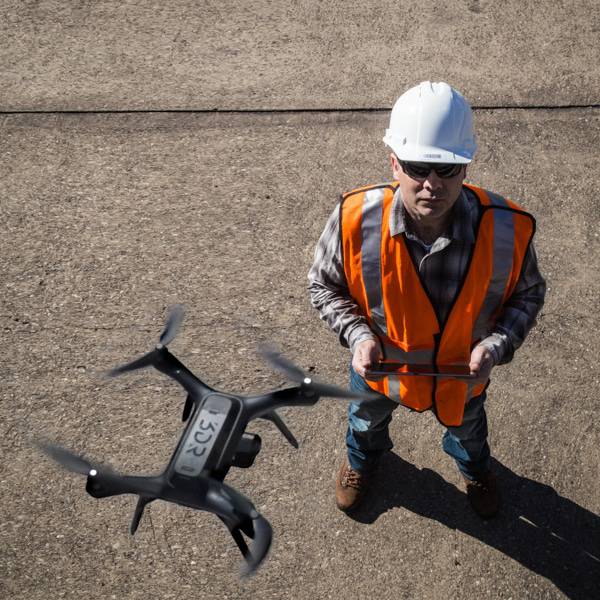
INDUSTRY-LEADING SUPPORT
Learn MoreDRIVING PERFORMANCE AT SOME OF THE WORLD’S SMARTEST COMPANIES