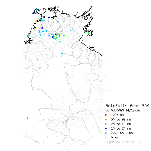
Northern Territory Rainfall and River Conditions

Display on Map

About Map
Note: Map contains unchecked data from automatic equipment.
Please remember to refresh page so the data is up to date.

Map of river conditions Map of 24 hour rainfalls Map of rainfalls since 9 am Map of last hour of rainfall Click for Map and other Flood Information for Alice Springs Click for Map and other Flood Information for Carpentaria Coast Click for Map and other Flood Information for Bonaparte Coast Click for Map and other Flood Information for NorthWest Coast Click for Map and other Flood Information for Arnhem Coast Click for Map and other Flood Information for Inland Rivers

Acknowledgment

Data is compiled from sites operated by the Bureau of Meteorology and the Northern Territory Department of Land Resource Management.