About Berico
Our interdisciplinary team of engineers and analysts has developed revolutionary data integration and analytic solutions to harness complex data and simplify data discovery through elegant user interfaces.

Products
Our product suite – including a data integration platform, a text geo-extractor/resolver, and a search, discovery, and collaboration front-end – were designed to enable analytic capabilities that are easily configurable, interoperable, and scalable while maximizing existing technology investments.

Professional Services
Our technical, domain, and subject matter experts have a proven track record of helping our Federal and Commercial customers drive greater performance through innovative custom solutions and specialized services.

Data Analytics & Visualization
Our data scientists and web developers are driven by a pursuit for increasingly novel ways to simplify the way analysts and knowledge workers make sense of vast quantities of structured and unstructured data.

User Interface Development
Our Products are designed with the end user in mind to deliver a modern, intuitive, and efficient user experience.
Our Product Philosophy
Deliver innovative visualizations, search & analytic capabilities, and platform integration architectures that are interoperable, configurable, and scale to data of any size and complexity while maximizing existing technology investments. We bridge the gap between leading edge web-based solutions and end user requirements through user engagement.


Rivium

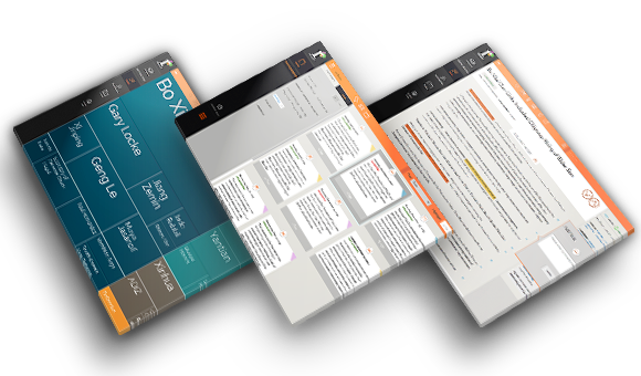

A challenging data landscape requires robust and intuitive tools
- Rivium is an intuitive web-based data visualization, exploration, and collaboration application
- Intuitive filtering and data visualizations minimize time spent searching for data and maximize time spent on analysis and data discovery
- Rivium's UI design and workflow streamlines all phases of research
- User-friendly visualizations provide novel means for users to interact with and explore the data deluge
Conduct complex queries with a few simple clicks
With a few simple clicks, explore high-level trends within the corpus of data, or conduct complex queries - including geospatial and temporal - based on meta-data and extracted content.
Promote discovery
Visualize the trends that might otherwise be missed within a big data environment. No need to know a priori exactly what you are looking for in order to receive the relevant information. Search begins broadly and through data discovery and visualization hones in on interesting trends, outliers, and clusters of information within a big data environment.
Read More Email us about RiviumFacilitate Collaboration
Workspaces include saved searches, alerts, folders, shared notes, and a dashboard for status updates and deliverable deadlines.
Persist institutional memory
Rivium provides a means for leadership to persist institutional knowledge despite changes in personnel.
Portable User Interface is ‘backend agnostic’
Successfully implemented with a variety of server and search technologies.
Read More Email us about RiviumCLAVIN
Don’t let rich geo-spatial data stay trapped in structured and unstructured text
- CLAVIN (Cartographic Location And Vicinity INdexer) is an award-winning open source software tool for document geo-tagging and geo-parsing.
- Automatically extracts location names from structured and unstructured text and resolves them against a gazetteer to produce data-rich geographic entities.
- CLAVIN has 75% accuracy for geospatial entity resolution, can resolve 100 locations per second per CPU and process 1 million documents in under an hour on a 9-node Hadoop cluster. It can scale to billions of records.
Smart
Uses natural language processing, fuzzy matching, and context based heuristics
Disambiguates exactly which geographic entity was intended by the author, based on the context of the document (determine whether “Springfield” refers to Illinois or Massachusetts)
Recognizes alternative names (e.g., "Ivory Coast" and "Côte d'Ivoire") as referring to the same geographic entity, and utilizes fuzzy search to reconcile incorrectly-spelled location names.
Read More Email us about CLAVINVersatile
Enables advanced geospatial analytics, map visualizations, and hierarchical geospatial search integrated into multiple next-generation analytic platforms. Simple API renders results in virtually any visualization tool.
Disruptive
CLAVIN successfully replaces costly proprietary tools providing substantial cost savings while increasing flexibility.
Read More Email us about CLAVIN

Open Source
Released to the Open Source community on an Apache License.
Customizable
Berico offers flexible licenses and advanced features with options for custom gazetteers, integration and support.
Find CLAVIN listed on NASA SEWP
